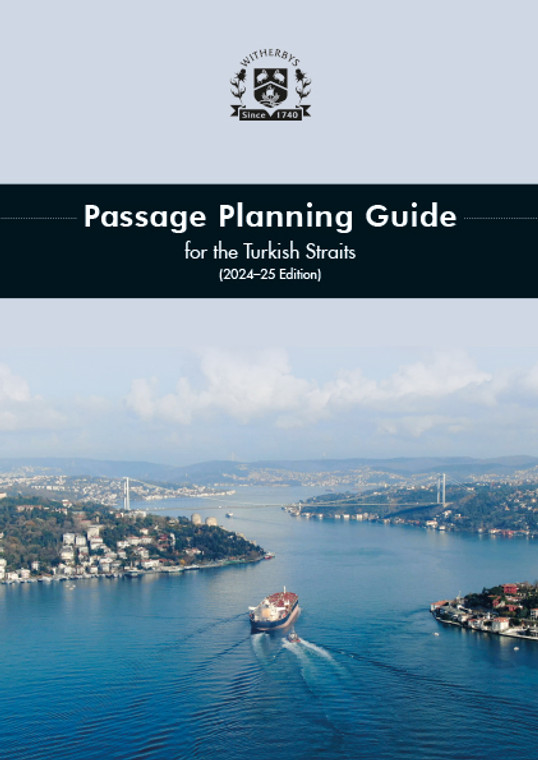
This new Guide details all the necessary passage planning guidance for Masters and navigating officers when transiting the Turkish Straits. It has been developed to incorporate the latest guidance and practical advice for ships transiting the region.
Guidance is provided on the transits (North and South) covered by vessel traffic services:
- Çanakkale Strait (Çanakkale Bogazi) = 37 NM
- Sea of Marmara = 110 NM
- Bosphorus (Istanbul Bogazi) = 17 NM
This Guide summarises the essential information that Masters require in preparing for a transit of the Turkish Straits and requirements in Türkiye, in addition to providing navigating officers with the necessary guidance to prepare a comprehensive passage plan.
The Turkish Straits is 164 NM long in total, between the Aegean Sea and the Black Sea, and is the only available route by sea and all within the sovereign sea territory of Türkiye.
The Guide details situations in which:
- Traffic in the Straits would be suspended
- vessels require one-way traffic
- vessels require daylight-only transit.
The Turkish Straits is one of the world's busiest shipping routes, with approximately 130 ships a day transiting (~50,000 ships per year). 20% of all ships are tankers. Suezmax tankers (<300 m LOA) can safely navigate the Turkish Straits while maintaining acceptable margins of safety. Tankers >300 m LOA can transit the Turkish Straits, but will be subject to additional restrictions.
Managing traffic in the Turkish Straits is a challenge, with one-way traffic measures leading to a transit time of broadly 12 hours Northbound and 12 hours Southbound (typically led by a tanker). This all results in the average waiting time for a ship to enter the Bosphorus Southbound being 14.5 hrs for large ships waiting in 'hold'. Such waiting times can increase to 3-4 days, or even a week on occasions, due to heavy traffic or other circumstances such as poor weather or as a result of a major incident in the Turkish Straits. The Guide clearly sets out all of this information to provide scheduling advice for the Master.
In the Turkish Straits, vessels may encounter strong currents, with rates in excess of 7 knots, while navigating in confined waterways that narrow to only 698 m at points, as well as having to safely make large alterations of course of up to 80?. In addition to these challenges, concentrations of traffic are often heavy in the Bosphorus, as ferries and local traffic make over 2,500 crossings of the waterway per day.
This 2024-25 Guide provides clear and comprehensive guidance for the Master and navigating officer, accompanied by annotated chartlets for each stage of the transit, all presented in an easy-to-use format and layout.
High Level Contents
Section 1 Guidance Notes on the Turkish Straits
1.1 Turkish Straits - Introduction
1.2 The Dardanelles (Çanakkale Bogazi) Overview
1.3 The Bosporus (Istanbul Bogazi) Overview
1.4 New Development: The Istanbul Canal (Kanal Istanbul)
1.5 Master's Guidance for Arriving Ships (Notification & Papers)
1.6 Transit Restrictions (Height, Day/Night, Wind/Currents)
1.7 The Russia/Ukraine Conflict - Implications for the Turkish Straits
1.8 Preparations for Transit of the Turkish Straits
1.9 Turkish Straits - Anchorages & Waiting Areas
1.10 Turkish Straits VTS and Turkish Straits Reporting System
1.11 Pilotage: Mandatory/Recommended and Pilot Booking Procedure
1.12 Pilot Boarding Grounds
1.13 Shiphandling, Overtaking & Manoeuvring in the Turkish Straits
1.14 Guidance for OOW Bridge Team in the Turkish Straits
1.15 Use of ECDIS in 'Two Colour/Four Colour' Depth Shading Mode
1.16 Traffic to be Expected
1.17 Currents in the Turkish Straits
1.18 Restricted Visibility due to Fog/Smog
1.19 Prevailing Winds & Weather
1.20 Escort Tugs
1.21 Emergency Response
1.22 MARPOL
1.23 BWM in Turkish Straits and the Black Sea
1.24 Cruise Ships
Section 2 Groundings, Collisions and Incidents in the Turkish Straits - Northbound
2.1 Groundings, Collisions and Incidents - Northbound - The Dardanelles
2.2 Groundings, Collisions and Incidents - Northbound - The Sea of Marmara
2.3 Groundings, Collisions and Incidents - Northbound - The Bosporus
Section 3 Groundings, Collisions and Incidents in the Turkish Straits - Southbound
3.1 Groundings and Collisions - Southbound - The Bosporus
3.2 Groundings and Collisions - Southbound - The Dardanelles
3.3 Groundings and Collisions - Southbound - The Sea of Marmara
Section 4 Northbound - Passage Notes
Section 5 Southbound - Passage Notes
Annexes
Annex 1 - Pre-Entry Bridge Team Meeting
Annex 2 - Turkish Authority Contacts
Witherbys titles are developed using scripts developed by technical experts that are peer reviewed within work groups. Typically, they seek to improve understanding of the regulations, recommendations and guidelines issued by Industry.
Witherbys staff have significant expertise in the fields of navigation and hazardous cargoes as well as in the presentation of complex subjects in a graphic and easy to understand manner.
- Number of Pages:
- 136
- Published Date:
- December 2023
- Book Height:
- 300 mm
- Book Width:
- 210 mm
- Author:
Witherby Publishing Group
- Weight:
- 1.1 kg
- Publication Date:
- December 2023
- Preview:
- Yes
- ISBN:
- 1914993666


